April 12-20, 2021
TL;DR: West Texas is wonderful, including both Big Bend State Park and Big Bend Ranch, which is slightly farther west and less popular. They definitely feel different, but connected. Pretty remote, with gorgeous cacti everywhere and expansive mountains and layers. Very glad we had Eric because we drove a lot.

The stats
Hikes: 10
Hiking miles: 26.04 (2,628 ft elevation gain)
Miles in Layla: 596
Jack pads added: 4
Jack pads lost: 1
Dirt roads driven: 5
Bars rejected from: 1
The sights
Big Bend National Park
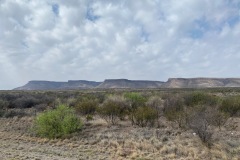
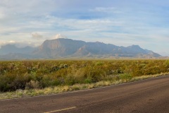
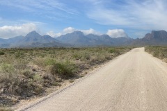
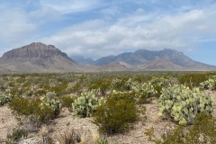
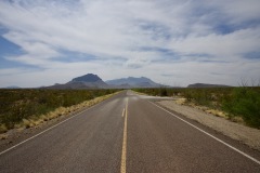
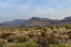
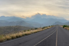
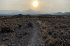
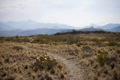
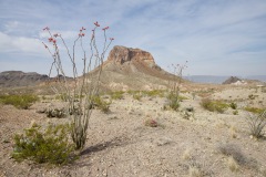
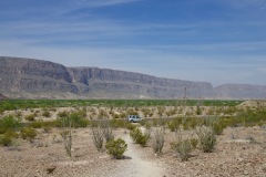
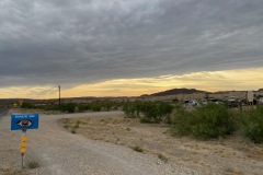
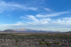
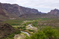
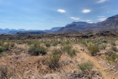
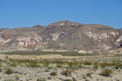
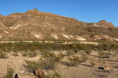
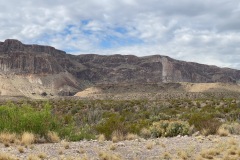
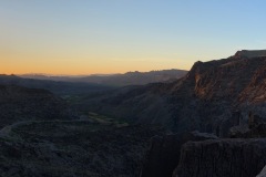
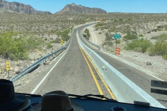
As you head into the park, you pass these gorgeous low-lying rolling hills, which look like the Badlands. Then, off in the distance, are the Chisos Mountains, which are huge, and almost look fake. We usually left in the morning, which meant we got to see the sunlight slowly hit the mountains, which was pretty magical.

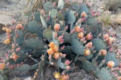
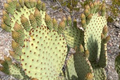
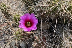
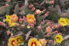
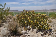
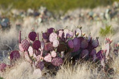
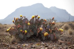
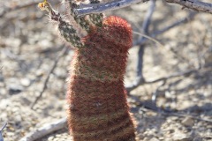
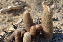
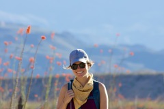
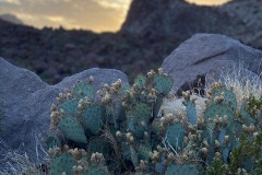
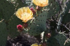
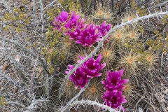
Our first stop was Balanced Rock, which was six miles down a very bumpy Grapevine Spring Road. This was our first glimpse of Englemann and purple prickly pears cacti, which were in full bloom and looked like actual bouquets of yellow and pink tulips.

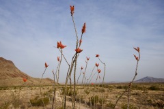
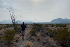
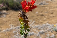
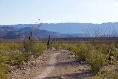
Also saw plenty of Ocotillo everywhere, some in bloom, some not, some really spread out, others straight up. There were only three cars at the trailhead when we got there at 8:30, and it didn’t get too hot, which was great. We walked through the canyon as the light was coming up over the left side.
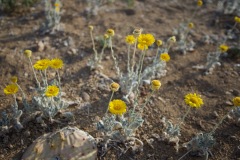
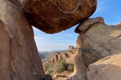
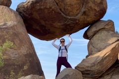
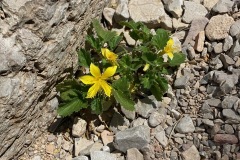
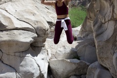
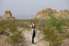
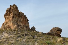
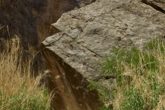
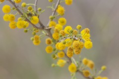
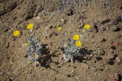
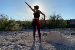
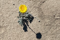
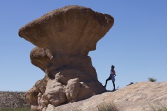
Lots of beautiful yellow desert marigolds. At the end, we made our way up about a half mile to the actual balanced rock. Bri queued up a pretty solid photo shoot.

Next up was the Chihuahuan Nature Trial at Dugout Wells, which is basically an oasis in the middle of the desert because of the cottonwoods, which meant there’s water.
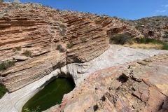
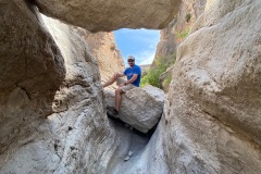
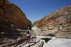
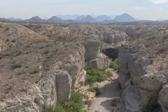
We then made our way four miles down another bumpy road, Old Ore, to Ernst Tinhah. A little busier because we were a little later, but a really cool slot canyon with so many layers and colors. Made it pretty far back and scaled a few narrow spots, which was really fun.
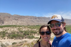
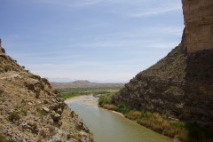
Took a slightly premature turn to the Boquillos Canyon overlook. We meant to hit the actual trailhead, but the overlook was so good, and we were pretty tired, so we decided the overlook was enough, what with its gorgeous views and all.

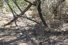
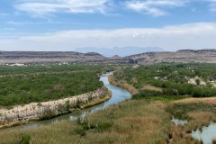
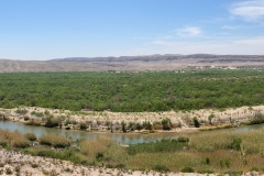
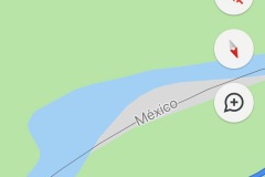
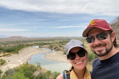
Our final spot the first day was the Rio Grande Village Visitor Center Nature Trail. Saw a pretty cute little bunny at the beginning. Short, but very interesting hike that starts along a boardwalk with fish guarding the shallow trenches, then heads up to a hill that overlooks all the mountains and Rio Grande River and Mexico, with the Chisos Mountains in the distance, and Boquillos Canyon Mountains behind that.

On day two, we turned on the Ross Maxwell scenic drive, which is about 30 miles down the Santa Elena Canyon. First stop was the Chimneys Trail, which had a very gradual and sneaky 400 foot elevation that we didn’t really notice on the way out (because, downhill). Gorgeous backdrop of the layers of Chisos Mountains, couple of cute lizards. Also a little oasis with lots of greenery, mesquite, and brush.

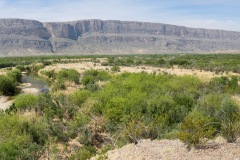
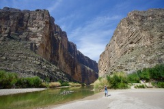
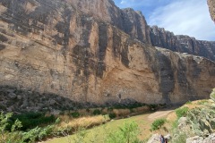
Dropped by Mule Ears for a quick look, then Tuft’s Canyon to Santa Elena Canyon, which, at 1,500-feet straight up, is basically the desert version of The Wall from “Game of Thrones.” Super cool to walk in between the canyon and down to the water (it was pretty low so we could really get into the center).
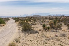
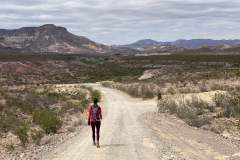
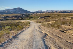
Drove back Old Maverick Road, which was a 14-mile dirt road and Eric did great! Mountains on all sides, ocotillo, prickly pears. Saw a roadrunner in a tree but we couldn’t get back fast enough to snap a pic.

Big Bend Ranch State Park
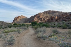
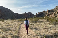
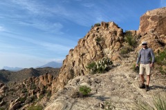
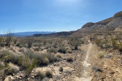
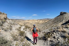
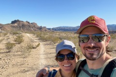
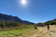
Our first day here, we didn’t end up starting our (longest) hike until about 3, but it was definitely one of the best. The Fresno Divide trail (West Contrabando trail system) ended up being a 9-mile round trip through an incredibly varied and layered landscape that was different around practically every turn. Went up a total of 1,000 feet but felt overall very gradual and pleasant.

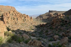
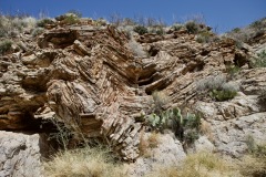
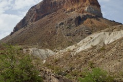
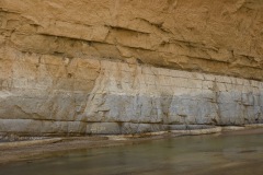
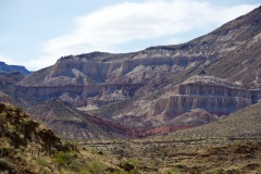
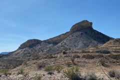
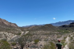
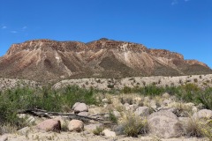
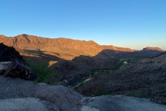
This park definitely feels related to the National Park, but a lot greener and more mountainous, and not quite so many trees. Within each mountain you could see all the layers and lots of cool greens and reds (which is apparently quicksilver).

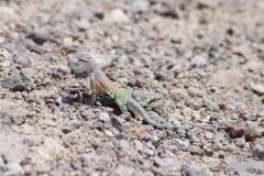
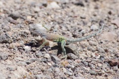
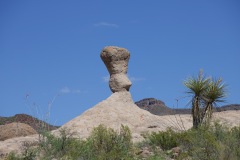
The Hoodoos trail has these mushroom-like formations with a hard rock cap on top. Also saw a few balanced rocks and a very cute iridescent lizard who was basically posing for Bri. Got a nice look at the Rio Grande going both ways. Pretty chilly/easy walk.

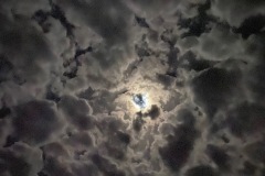
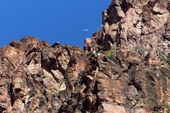
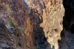
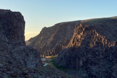
The Closed Canyon Trail is 15 stories high, much more narrow and shorter than Santa Elena, and we had the trail pretty much to ourselves. Beautiful coloring and shadows, and the moon was just above the top of the canyon.

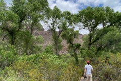
One day, we drove over to the interior section of the park, which is completely different than the river section. To get there, we drove through Presidio, which had approximately four Dollar Generals and no grocery stores. Once we were back in the park, we stopped at Ojito Adentro, which was a 3-mile trail that went into this Cottonwood grove with a small little water feature; very different from the rest of the park. Also checked out Papalito Campground, which is where Bri wanted to go originally—totally remote and single-reservation campground. Gorgeous backdrop, and would have been very different.

Details, details, details
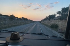
From Austin to Terlingua, we drove the scenic route on 71, which was so lush. Google switched us down 377 and back to the 10, but we backtracked to 190. Much prettier route, and still high speed but basically deserted. Started out as green shrubs and brush land, then gave way to farms.

There was a fire in Chisos Canyon while we were there, so we weren’t able to see it. Will just have to come back! This also made for some pretty smoky skies pretty much every day.
For the most part, everyone we encountered was just lovely, friendly, and so happy to be there.
Taking off hiking boots after a hot day of trails is great.
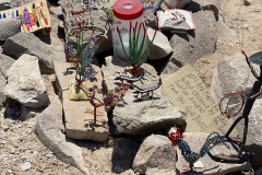
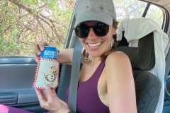
On the Rio Grand Visitor Center Nature Trail, there were all these really pretty homemade trinkets from Mexican families in Boquilla; you could purchase them with a donations for the “children.” We now have an excellent collection of hand-made koozies and an amazing cowboy on a horseshoe with a tin can hat. We named him John AKA Jack Coffee Hays, a Texas Ranger legend who Hays County, TX is named after.

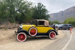
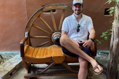
Saw a very incredible old car at the trailhead for Santa Elena Canyon. Would like to meet its owner.

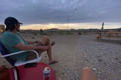
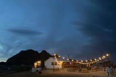
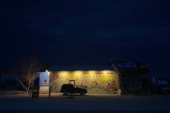
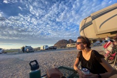
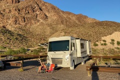
Our RV park outside Big Bend Ntl Park not only had gorgeous views of the mountains but was a two-minute walk from the quite excellent Maverick’s Ice House, home to drunk locals, live music, Miller Lite, and Texas Flag chairs.
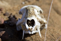
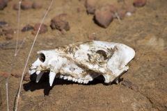
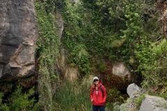
When we were on the Fresno Divide trail in Big Bend Ranch, Jess spotted this sweet javalina skull just off the trail.
There was also a rock that looked very much like Pride Rock from “The Lion King.”

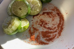
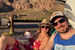
Mezcal + lime + a Tajin rim is a winning combo.

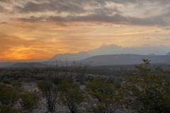
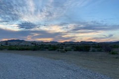
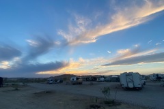
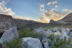
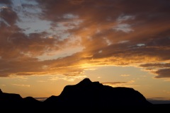
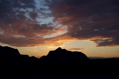
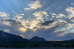
Watched quite a few beautiful sunsets from our spot in Big Bend Ranch.
Also drove up the mountain behind us to watch the sun rise one morning. There weren’t a ton of clouds, but watching the sun hit the mountains and hearing the birds waking up was awesome.

Got up at 5 one morning to see the stars without the full moon getting in the way, and saw the Milky Way. Was so gorgeous.
And then this happened…
The first day back on the road was a BIG one. Jess went to get a same-day crown with a new dentist (since last week’s new dentist couldn’t do it), and once they took X-rays, they suggested two crowns and a filling, all at once. So that was her first (Monday) morning of our Southwest trip.
Bri (amazingly) got Jess a custom dress for her 35th bday, and we were supposed to see the first rendition of it right before we left. When we arrived, it was as if she had no idea we were coming, and she didn’t have it at the shop. So now we won’t see it until October. : (
At the very end of the Fresno Divide trail, when we had seen no one for nine miles but were always on the lookout for mountain lions, two bikers came out of NOWHERE and scared the shit out of Jess.
We drove out of Big Bend Ranch to find a margarita, and the only place is the Lajitas Golf Resort, which is sort of set up like a Western main street. So we found the bar, walked up and ordered two margs, and he asked for our room number. We said we weren’t guests, and he said they don’t serve non-guests. Cool. Guess we’ll make our own margs!
A roadrunner ran RIGHT in front of Eric but we did not hit him, thankfully!
In Big Bend Ranch, we met our neighbors, Maddie and Dan, and it wouldn’t be the first time we ran into them… to be continued.
Now we know
Eric is a champion of bumpy dirt roads!
The “This Is Muse” playlist on Spotify can really make your day whilst cruising around a national park.
The dentist told both of us we needed sleeping mouthguards, so got some at CVS and had quite the time making them. Easy, but hard, ya know?
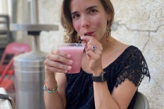
The ghost town of Terlingua is a small but popular place just outside Big Bend National Park and home to Starlight Theater, which often has a line out the door for dinner. But if you just go to the right and straight to the bar for prickly pear margs, you can usually find a spot : )

Six miles is our perfect hiking distance, but we will definitely go longer if it’s worth it for the views/etc.
For Schitt’s Creek watchers: Eugene and Daniel Levy are related. Jess discovered this sometime after the first season (Brian of course, already knew). Also Twyla is Daniel’s sister in real life.
Road food
Though Jess didn’t write about it, we did thoroughly enjoy our meal from Taqueria El Milagro in Terlingua Ghost Town.

Where we stayed
Night one: Westbound I-10 Pecos Rest stop just past Fort Stockton
Nights two through five: Spot 6, Roadrunner RV Park, Terlingua, TX

Nights six through nine: Spot 2, La Cuesta Campground, Big Bend Ranch State Park, TX
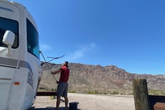
Four campsites here, mostly unlevel. Managed to level after much moving around and a few “excessive angle” warnings from the leveler (which is still technically broken…). Was a pretty nice jumping off point for most of our adventures here! Also had access to the Rio Grande down a really steep incline.


