February 29-March 7, 2020
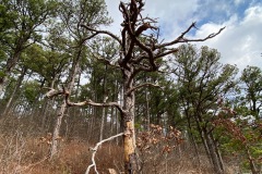
TL;DR: We don’t need to see any more leafless trees for a while, but the Ozarks really delivered, from unexpected caves and waterfalls to pretty solid boondocking spots. The trails and parks are all very well maintained, and free to get into. Plus, there was practically no one around, so we pretty much had the place to ourselves.

The sights
Pedestal Rocks/Kings Bluff trailhead
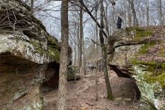
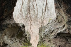
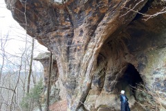
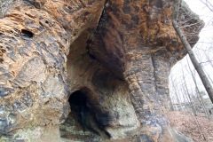
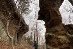
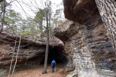
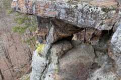
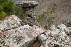
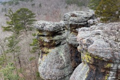
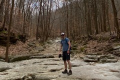
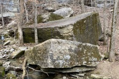
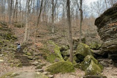
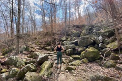
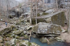
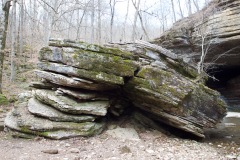
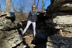
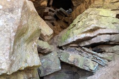
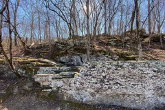
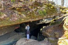
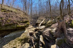
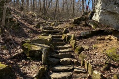
These two trails are very different. Pedestal Rocks doesn’t show you much until about halfway through, when you see ALL of the rocks and caves and nooks and crannies. The hike was 2 miles but we went about 3 because it was so easy to go off trail and explore the rocks.

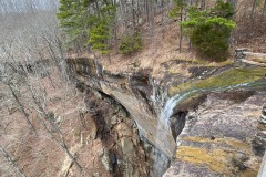
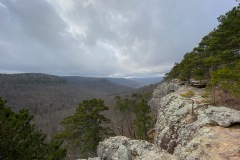
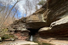
The Kings Bluff route leads to a giant bluff with a mini waterfall and goes much faster than the Pedestal Rocks trail.

Sam’s Throne
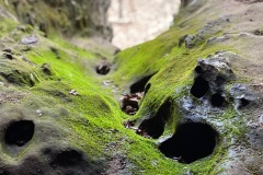
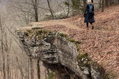
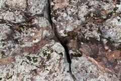
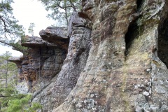
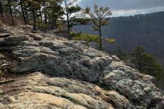
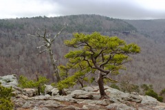
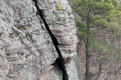
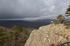
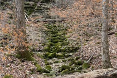
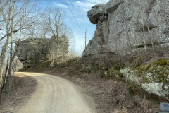
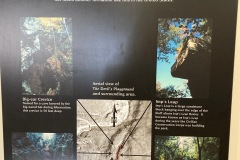
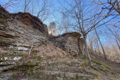
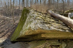
This hike doesn’t have great signage and is apparently a favorite among rock climbers. Pretty short (1 mile) along a bluff that hugs the mountain. Lots of pines growing out of the rock, light green lichen, and rust-orange colored bits on the rocks.
Lost Valley Trailhead
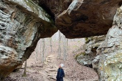
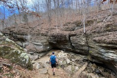
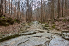
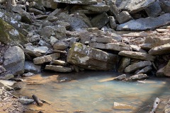
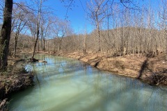
We took this hike on a gorgeous sunny day. It follows Clark Creek, which was pretty dry at the beginning and slowly had more water until we got to the “Natural Bridge,” which wasn’t so much a bridge as an arch that the creek had carved through 50 feet of limestone. Apparently this is where the valley got “lost.”

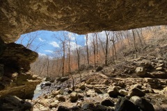
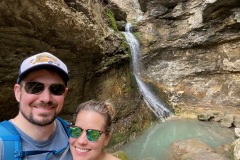
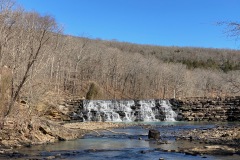
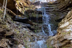
Next was Cob Cave, named after the preserved corn cobs they found inside from 2,000 years ago. Huge and expansive, and directly next to Eden Falls, which has four different waterfalls and plummets 170 feet, with different layers of shale and sandstone.

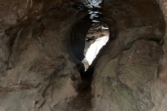
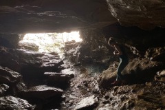
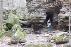
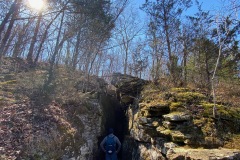
Finally, we went to Eden Falls Cave… there was a group of kids and two dads ahead of us so we just went for it and it was insane. At one point there was no light and the cave was maybe three feet high. Almost on our hands and knees.
Bri had to take his backpack off and leave it, but we made it to the 35-foot waterfall 200 feet inside. Was pitch black and super loud. Really cool. Really scary. Very happy to be back in sunshine.
Overall, this was an unexpectedly wonderful hike and elicited a record number of “so pretty”s from both of us.

Whittaker Point
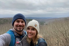
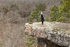
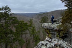
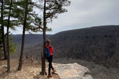
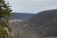
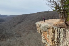
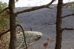
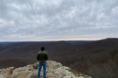
We really went for it at Whittaker Point. Biked over 10 miles with 1,000 feet of elevation, and hiked four miles with 500 feet of elevation. The bikes are awesome and very adequately absorb the bumps in the road. The hike had lots of stones, a small waterfall, and a really cool overlook on a crag overlooking the valley.

We thought we were going along the loop of the trail back to the beginning, but we ended up on someone’s private property and adding a mile onto our hike. Oops. Was cool to bike through the backroads and see the Ozarks from that perspective.
Rim Trail, White Rock Mountain
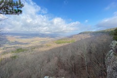
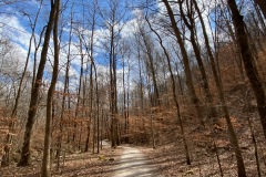
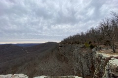
Pushed our way through some brush from where we were staying at site 9 down to the Rim Trail, which was probably not exactly recommended. Was very windy on the east side, but once we rounded the corner back to the west side, it was calm again. Mountains here are mesas, which allows you to see pretty far from the flat tops. There was pretty much no one else there, which is always a plus.

Lake Fort Smith State Park
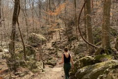
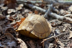
This park was pretty empty, too. We thought the trails were super well marked but turns out, the mileages are off; we thought we were hiking 2.4 miles but ended up at 4.4. Saw some white-tailed deer scamper off, and a little turtle who had escaped completely into its shell. The trail had a lot of switchbacks for mountain bikes, so the 421-foot elevation was gradual.
Devil’s Den
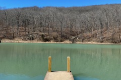
Devil’s Den has just about everything: a swimming pool, a lake and waterfall made by the CCC, sandstone caves, a river, baseball diamond, volleyball court. Basically perfect for summer camp. It’s spread out but well set up and easy to get around.
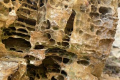
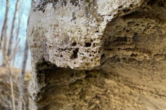
We took the Devil’s Den Trail and checked out all the sandstone rock formations and caves (very ‘Descent’-like, and closed, which was probably better for everyone’s blood pressure). The sandstone simply fell all over itself to make the formations, and it was interesting to compare it to the limestone caves from Lost Valley, which were carved by water.

Fort Smith, AR
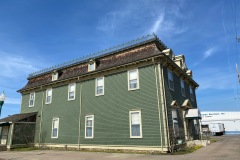
Went to “Miss Laura’s Visitor Center” and were promptly greeted by Bill, who roped us into a “10-15” minute tour that ended up being about 30 minutes. He did great but we were hungry/not really interested. But… the center used to be a bordello and was one of 6 fancy original houses on the row and the only one left. Stained glass windows and original woodwork.

Bricktown Brewery, which was lovely and Jess thought she could write about it but we found out the next day it’s actually a chain in the south. Womp. Walked around to a couple shops. Jess bought a sweet Rangers shirt at Brian’s request.

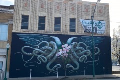
Looked at all the murals.

Details, details, details
There was a nice rest stop called the Rotary Ann Overlook when we first entered the Ozarks that had good bathrooms and an easy place to park.
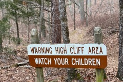
With the weather and lack of people and surplus of caves/dark spaces, the Pedestal Rocks hike felt a little like a horror movie.
When we were at Sam’s Throne, we took an entire afternoon to reorganize Layla and now everything has a home. It is glorious.

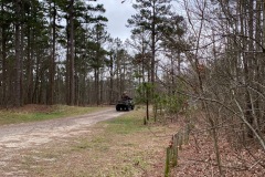
At Sam’s Throne, a guy decked out in full camo gear drove by in an ATV. Turns out he lives right down the street and volunteers to clean up. Was just coming to check for trash. : )
Though the roads in Arkansas are very windy, they are also very well marked, which is immensely helpful in an RV.
The Ozarks are home to lots of randomly run-down stone houses that look like they’ve been around for 100 years.
On Arkansas 74-West we saw a road sign post made of about 7-8 chainsaws, and also, separately, a tree with 5 motorcycles hanging from its branches.
On our way to White Rock Mountain, we saw a merlin/kestrel-like bird with another bird about half its size in its talons!
We had hook-ups at Devil’s Den and it felt so nice to take a slightly longer shower without having to worry about water.
The new Terminator movie is very strange and convoluted. But also very entertaining.
And then this happened…
March. How is it March!?
When we got to the Sam’s Throne campground, we thought that a car was weirdly parked in front of the road leading to the campground, but it was actually parked in a campsite. Good thing we didn’t go ask them to move.
After Lost Valley, our boondocking spot was supposed to be a quick “5 miles away” but it was not. At all. And we didn’t have the offline map downloaded so we had to find cell service… which took us 30 miles out of the way in three different directions. PSA: Ponca does not have cell service.
It was supposed to rain the entire time we were in the Ozarks and we barely saw a drop.
As we pulled into the campground at White Rock Mountain we heard a huge snap and thought we had taken down the power lines. Thankfully, it was just our cable antenna, which we never really use anyway.

We went to fill up our tanks “just a little” at White Rock Mountain but had to go back twice because the water was so slow and we didn’t actually get enough.
At Devil’s Den, we leveled right on top of the curb, bending one of the jacks. Thankfully it was really only the side of it, so we should be good? Fingers crossed.

Now we know
There are actually quite a few boondocking spots in the Ozarks but they’re really hard to see on Google Maps because of the trees.
There are elk in Arkansas!
The road to White Rock Mountain has a ton of rocks, potholes, and bumps, and is very windy and steep. We had to go about 5-15 MPH the whole time.
“Marshmallow racoon” is a very persistent little guy who likes to hang out at Site 9 at White Rock Mountain.
The road from Lake Fort Smith State Park to Devils’ Den is not recommended for trailers/RVs over 26 feet, and that’s accurate advice. It’s super narrow and has a lot of switchbacks. Thankfully, practically no one was there, so we were fine.
Devil’s Den has Viasat wifi, which you can pay $8 for 24 hours. And it’s really strong. This was particularly good news since we thought we’d have to bike to service for Jess to turn in a work project.
Where we stayed
Night one: Cracker Barrel in Russelville, AR
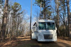
Night two: Sam’s Throne campground
This was a really cool little spot about 1 minute walk from the Sam’s Throne walk.

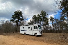
Night three: Boondocking spot on Cave Mountain Road
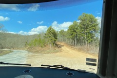
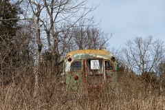
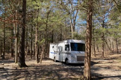
A mile and a half up a dirt road with plenty of room for additional cars and campers, if we had company. Also saw an awesome tricked-out school bus on our way up. Was a good starting spot for our epic bike/hike to Whittaker Point.

GPS coordinates: 35.875753, -93.517126
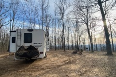
Night four and five: Site 9 at White Rock Mountain Campground
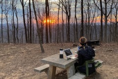
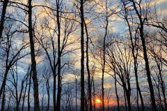
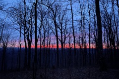
Pulled in and were perfectly level almost immediately which never happens. Gorgeous views of the valley and sunset, and the stars when it was clear. Totally quiet.
Night six and seven: Site 93 at Devil’s Den State Park
Great spot except that there’s a power plant of some sort next to it that hums on and off all night. There were a lot of cool sites next to the river that were also fun, with elevated sites for RVs and a platform closer to the river for campfires and such.

Night eight: Camping World in Tulsa, OK

